
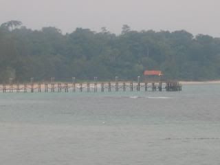
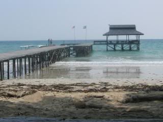
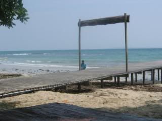
Just over a hundred years ago, a tiny island was formed by a volcanic eruption off of the coast of Borneo. Since that time, the island of Pulau Tiga was essentially unknown to the world until just a few weeks ago when it became a household place name in the U.S.A., thanks to America's popular television show, Survivor.
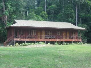
- The Place we Stayed-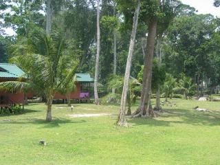
- The outside view-
Survivor is a reality-based television show on the CBS network based on Sweden's Expedition Robinson. Last spring, sixteen Americans were "marooned" on Pulau Tiga and their every move was filmed by television cameras. The contestants in this twisted game show have to slowly vote each other off the island and the end result, after 39 days, is that only one "survivor" remains - and that person wins $1 million. The 39 days on the island were broken up into 13 one-hour episodes that air every Wednesday night on CBS.
Geology
Pulau Tiga (the name means "Island of Three") was formed on September 21, 1897 when a large earthquake on the Philippine island of Mindanao triggered a volcanic eruption just north of Borneo. The eruption of mud and rock formed a new island 66 feet (20 meters) wide. Over the next four decades, subsequent eruptions of the volcano and the development and eruptions of two additional adjacent mud volcanoes expanded, coalesced, and formed the island in its current state. The last eruption of the mud volcanoes on the island was in 1941 but warm mud continues to ooze from these geothermal vents on the island. Though it's mostly a low-lying island, Pulau Tiga's highest peak is approximately 330 feet (100 meters) tall. The island is now about 2.8 miles (4.5 km) long and 1 mile (1.5 km) wide, for a total of eight square miles (20.7 km2).
Location
Pulau Tiga is 6 miles (10 km) offshore of the island of Borneo, to the northeast of the country of Brunei. The Malaysian island's absolute location is 5°44' North and 115° East.
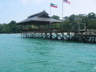
To get to Pulau Tiga, most fly to Kota Kinabalu (the capital of the Malaysian state of Sabah) from major Asian airports - including Hong Kong, Kuala Lumpur (Malaysia's capital), Singapore and Taipei (Taiwan's capital). The island is located about 37 miles (60 km) southwest of Kota Kinabalu, a 90 minute car ride followed by a 30 minute powerboat trip to the island and its national park.



No comments:
Post a Comment